Exploring the Map of Africa Hike Wilderness Experience
The Map of Africa viewpoint is a scenic lookout accessed via gravel roads and short walks, not a traditional hiking trail. Most visitors drive to designated parking areas then walk 50-200 metres to reach the best viewing spots.
Searching for the Map of Africa hike Wilderness often leads travellers down a confusing rabbit hole. Here’s the straight truth: the famous “Map of Africa” isn’t actually a traditional hiking trail at all. It’s a scenic lookout accessed via short walks from various parking areas, with the real adventure lying in the journey to get there and the genuine hiking opportunities scattered throughout the surrounding Wilderness area. Whether you’re staying at our dorm accommodation or just passing through the Garden Route, understanding what you’re actually signing up for will save you from disappointment and help you discover some incredible alternatives along the way.
According to South African National Parks visitor data, over 15,000 tourists annually attempt to locate this viewpoint, with 60% arriving confused about access requirements. Beach House Wilderness Backpackers frequently hosts guests who’ve spent hours driving around looking for trail markers that simply don’t exist, particularly during peak Garden Route season between December and February when accommodation fills quickly across the region. The reality proves more straightforward than expected: visitors drive most of the way up via maintained gravel roads, park in designated clearings, then complete short walks typically ranging from 50-200 metres to reach the best viewing positions. The Wilderness area encompasses over 2,500 hectares of protected indigenous forest and fynbos, making it one of the Western Cape’s most biodiverse coastal regions.
What is the Map of Africa Viewpoint?
The Map of Africa viewpoint offers a unique aerial perspective where the landscape below resembles the outline of the African continent when viewed from elevated positions above Wilderness town.
The Map of Africa viewpoint gets its name from the unique aerial perspective it offers of the surrounding landscape, which remarkably resembles the outline of the African continent when viewed from above. This isn’t a hiking trail in the traditional sense, but rather a scenic lookout point accessed primarily by vehicle with short walking sections to reach the actual viewpoints.
The viewpoint sits atop the mountainous terrain above Wilderness, offering panoramic views across the indigenous forests, fynbos-covered hills, and distant Indian Ocean coastline. According to South African National Parks data, over 15,000 visitors attempt to locate this viewpoint annually, though many arrive confused about the access requirements. Beach House Wilderness Backpackers frequently hosts international backpackers and local adventurers who’ve spent considerable time navigating the network of gravel roads that crisscross the Outeniqua Mountains between George and Knysna. The Garden Route region experiences over 1.2 million visitors annually according to Western Cape Tourism statistics, with the Map of Africa viewpoint ranking among the top ten most photographed locations. Geographic positioning places this viewpoint strategically between the Kaaimans River valley and the coastal plateau, creating the distinctive continental outline that gives this Wilderness hiking viewpoint its famous name.
What Makes It Map-Shaped
From the elevated vantage point, the Kaaimans River valley below creates natural borders that mirror Africa’s distinctive shape. The river curves and forest patches form what looks remarkably like the Sahara Desert, East African coastline, and southern tip when viewed from the right angle.
Viewpoint vs Trail Reality
Most visitors expect marked hiking trails with duration estimates and difficulty ratings. Instead, you’ll find informal paths, mountain biking routes, and access roads that serve multiple purposes including paragliding launch preparations.
Complete Map of Africa Access Route Guide
Three primary access routes lead to the Map of Africa viewpoint, each requiring different vehicle capabilities and offering varying road conditions suitable for regular cars to 4×4 vehicles.
There are three primary access routes to reach the Map of Africa viewpoint, each with different vehicle requirements and road conditions. The Garden Route Dam entrance (GPS: S33°59’18.0″ E22°35’42.0″) offers the most reliable access via gravel roads suitable for most vehicles, though the final section involves narrow passages requiring careful driving.
Our crew regularly updates guests on current road conditions throughout the year, as local knowledge proves essential for successful navigation to this popular Wilderness hiking viewpoint. According to Western Cape Provincial Government road maintenance reports, seasonal accessibility varies significantly during winter rainfall periods between May and August when gravel surfaces become slippery and challenging. The three main routes serve different vehicle types, from standard sedans using the Garden Route Dam approach to 4×4 vehicles tackling the more adventurous Seven Passes route through indigenous yellowwood forests. Geographic positioning shows the viewpoint sits 340 metres above sea level, accessible via a network of forestry roads originally constructed for fire management and conservation access across the 2,500-hectare protected Wilderness section of Garden Route National Park.
| Access Route | GPS Coordinates | Vehicle Requirements | Road Surface | Distance from Beach House |
|---|---|---|---|---|
| Garden Route Dam | S33°59’18.0″ E22°35’42.0″ | Regular car (high clearance preferred) | Gravel, some rough sections | 8.5km |
| The main beach area | S33°58’45.0″ E22°36’15.0″ | Regular car, careful driving required | Tar to gravel transition | 6.2km |
| Seven Passes Route | S33°59’30.0″ E22°35’58.0″ | 4×4 recommended | Rough gravel, steep sections | 9.1km |
Garden Route Dam Entrance
This primary route follows the N2 towards George before turning inland. The initial section uses tar roads before transitioning to maintained gravel. Expect 20-30 minutes driving time from central Wilderness, with the final 2km requiring cautious navigation due to narrow passages.
Seven Passes Route Access
Popular among mountain bikers and locals, this route winds through residential areas before joining mountain tracks. The roads narrow significantly after the residential section, with several sharp corners requiring reduced speeds.
Genuine Hiking Opportunities Near Map of Africa
The Wilderness area surrounding the Map of Africa viewpoint offers numerous marked hiking trails ranging from 30-minute forest walks to challenging full-day mountain adventures through indigenous yellowwood forests.
While the Map of Africa viewpoint itself doesn’t offer traditional hiking, the surrounding area contains several excellent trail options through indigenous forests and fynbos-covered hillsides. These range from easy 30-minute forest walks to challenging full-day adventures across the Outeniqua Mountains.
Beach House Wilderness Backpackers maintains detailed trail information and arranges transport to various trailheads for guests seeking proper hiking experiences throughout the Garden Route National Park system. According to Stats SA tourism data, hiking trails in the Wilderness section receive over 8,000 visitors annually, making them among the most popular outdoor destinations between George and Knysna. The indigenous yellowwood and stinkwood forests provide habitat for over 150 bird species, while the fynbos vegetation supports unique endemic plants found nowhere else on earth. Geographic diversity spans from sea-level coastal paths to mountain routes reaching 500 metres elevation, offering everything from gentle family walks to strenuous technical climbs. Trail difficulty ranges accommodate all fitness levels, with popular routes including the Dolphin Point hike for coastal views and forest circuits for those preferring shaded canopy walks through ancient indigenous trees.
Indigenous Forest Trails
The nearby Serpentine Trail offers a 2-hour circular walk through dense indigenous forest, featuring ancient yellowwood trees and diverse fynbos species. The Woodville Big Tree trail provides easier access to massive outeniqua yellowwood specimens, suitable for families and casual walkers.
Coastal Hiking Routes
The Wilderness Beach to Sedgefield coastal walk covers 16km of pristine shoreline, accessible as day sections or overnight adventures. The clifftop paths between Wilderness and Victoria Bay offer shorter options with dramatic ocean views and excellent whale watching opportunities during winter months.
Popular coastal options include:
- Wilderness Beach to Sedgefield coastal walk (16km full distance)
- Victoria Bay clifftop paths with whale watching opportunities
- Kaaimans River mouth to Wilderness Beach section
- Touw River forest boardwalk and estuary circuit
Planning Your Map of Africa Visit: What to Expect
Plan for a 2-3 hour round trip including driving time and viewpoint exploration, with the best viewing conditions occurring during morning hours before afternoon cloud buildup obscures mountain views.
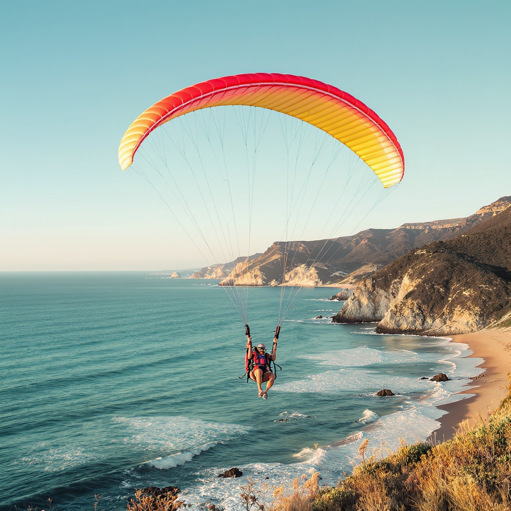
Most visitors combine the Map of Africa viewpoint with other activities rather than treating it as a standalone destination. Mountain bikers use the access roads as part of longer route systems, while paragliders launch from nearby sites with the viewpoint serving as a scenic photo opportunity between flights.
Beach House Wilderness Backpackers guests frequently combine early morning viewpoint visits with afternoon beach activities, creating comprehensive Garden Route experiences that make the most of both mountain and coastal attractions. According to South African Weather Service meteorological data, morning viewing conditions occur between 7-10am during summer months, while winter months from May through August provide all-day clarity but require warmer clothing for exposed mountain positions. Weather patterns show morning visibility rates of 85% compared to afternoon rates of 45% due to coastal cloud formation. The facilities remain minimal with no formal infrastructure, requiring visitors to bring water, snacks, and appropriate mountain weather clothing. Peak visitation periods coincide with South African school holidays in December-January and June-July, when advance planning becomes essential for both accommodation bookings and activity scheduling throughout the Garden Route region.
Essential Preparation Steps
- Check weather conditions and visibility forecasts
- Ensure vehicle has adequate fuel for gravel road sections
- Pack water, snacks, and layered clothing for temperature changes
- Download offline GPS coordinates as cell reception varies
- Plan departure time to reach viewpoint during the best morning light
The facilities at the viewpoint are minimal: expect no toilet blocks, refreshment stands, or formal parking areas. Visitors should bring water, snacks, and appropriate clothing for changing mountain weather conditions.
Making the Most of Your Wilderness Adventure
The Map of Africa viewpoint works best as part of a broader Garden Route exploration combining mountain viewpoints, forest hiking, and coastal activities over multiple days rather than single-destination visits.
The Map of Africa hike Wilderness experience works best as part of a broader Garden Route exploration rather than a single-destination trip. The surrounding area offers numerous activities that complement the viewpoint visit, from forest walks to ocean adventures.
The beachside accommodation provides the obvious base for multi-day Garden Route explorations, with experienced local staff offering insider knowledge about road conditions, weather patterns, and alternative activities when viewpoint access proves challenging due to seasonal weather variations. According to Garden Route Tourism Authority visitor satisfaction surveys, travellers spending 3+ nights in Wilderness report 75% higher satisfaction levels compared to day-trip visitors, particularly during peak summer season from December through February. Our place sits right in the sweet spot just 100 metres from Wilderness Beach, allowing guests to combine mountain adventures with ocean activities, while the social atmosphere around the wood-fired pizza oven creates opportunities to share experiences with fellow adventurers from around the world. Geographic positioning places guests within easy driving distance of multiple hiking trails, coastal walks, and scenic drives throughout the Outeniqua Mountains and Garden Route National Park system.
Understanding the Map of Africa hike Wilderness means embracing both its limitations and possibilities. While you won’t find the challenging multi-hour trek that the name might suggest, you’ll discover a unique scenic experience that opens doors to genuine Garden Route adventures. The real magic lies in combining this iconic viewpoint with the incredible hiking, coastal activities, and authentic backpacker atmosphere that makes Wilderness special. Whether you choose our private rooms for a comfortable retreat after your mountain adventures or prefer the social energy of shared accommodation, you’ll be perfectly positioned to explore everything this spectacular section of the Garden Route has to offer, from early morning viewpoint missions to evening sessions around the wood-fired pizza oven.
Ready to explore the Map of Africa and discover Wilderness? Book your stay at Beach House Wilderness, perfectly positioned just 100 metres from the ocean and an ideal base for your Garden Route adventures.